
A significant winter storm arrived in California on Tuesday, necessitating numerous evacuations in burn areas and posing a risk of flooding and travel disruptions across most of the state through Christmas, according to officials.
The National Weather Service stated on Tuesday that a potent atmospheric river will deliver significant rain, snow, and wind to California through Friday, advising individuals across the state’s northern, central, and southern regions to “exercise extreme caution.”
“If you intend to travel on the roads during the Christmas holiday, please reassess your plans,” stated National Weather Service meteorologist Ariel Cohen to reporters in Los Angeles on Tuesday.
The storm, propelled by an atmospheric river termed “the Pineapple Express,” is anticipated to deliver substantial rain and snow over several days as it transports moisture from the tropical regions of Hawaii to the West Coast.
“From late Wednesday to Friday, numerous regions are expected to encounter substantial flooding, accompanied by rockslides and mudslides, particularly in elevated terrains and canyon roadways.”
Cohen stated that certain cities in Southern California may experience up to 12 inches (30.5 centimeters) of precipitation.
In 2025, state officials reported that 8,019 wildfires resulted in 31 fatalities and devastated 525,223 acres (212,551 hectares) around California, with significant fires in Los Angeles incinerating residential areas, notably the Pacific Palisades, at the year’s onset.
LA County officials stated that recent burn areas, especially those affected by the January wildfires, are highly vulnerable to mud and debris flows.
On Tuesday, LA law enforcement issued evacuation orders for almost 200 residences.
Flood watches were issued for a significant portion of Los Angeles County and other regions of the state late Tuesday.
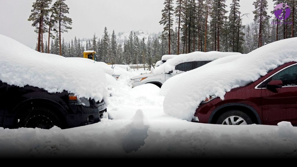
In the Sierra Nevada, the principal mountain range along California’s eastern border, over a foot of snow has already accumulated this week, with predictions of up to 5 feet or more before the storm concludes.
The storm was expected to produce wind gusts of up to 55 mph (88 kph) across the state.
“Weather officials cautioned that the amalgamation of highly saturated soil and vigorous winds poses a risk of extensive tree and power line damage.” “Lives and property are at significant risk.”