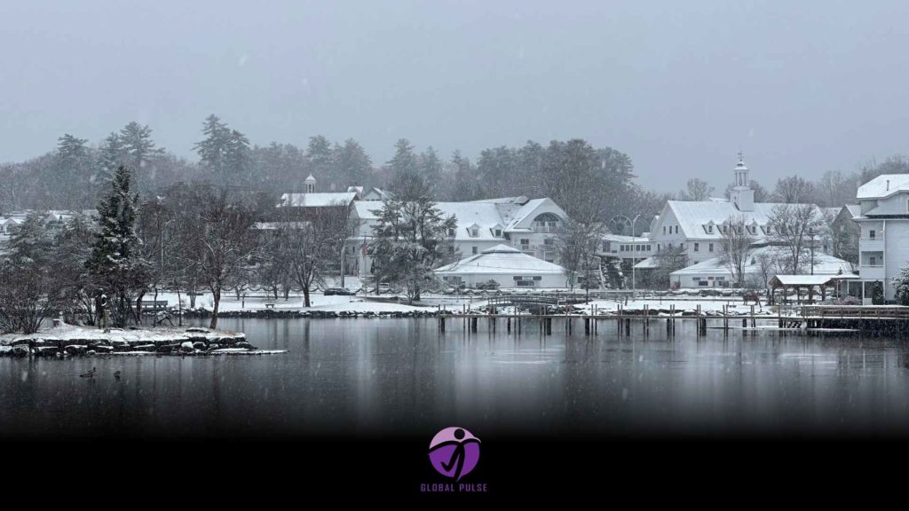
With the holiday season nearing, a projected surge in travelers nationwide is anticipated. However, winter storms loom, raising concerns about delays during their journeys.
In the days leading up to Christmas, the forecast indicates that while significant winter storms are unlikely, several minor disturbances may pose challenges for those engaged in last-minute shopping and travel.
According to AAA projections, over 119 million individuals will journey at least 50 miles from their residences between Saturday and New Year’s Day. This surge in travel is set to mark the busiest year-end holiday travel season ever recorded. The Transportation Security Administration (TSA) anticipates screening nearly 40 million travelers until January 2. The peak travel days are projected to be Friday, December 27, and December 30.
A storm that swept across the Northern Plains and Upper Midwest earlier this week is set to affect the Northeast through Saturday. This weather system may deliver several inches of snow to the interior regions of the Northeast, while major metropolitan areas could experience a mix of rain and light snow.
Forecasts indicate potential snowfall in various regions in the coming days.
The National Weather Service has released its snowfall predictions for the contiguous United States, detailing the expected total accumulation across the region.
The National Weather Service reports that a storm is set to affect major metropolitan areas in the Northeast until Saturday. On Saturday, cities including Washington, DC, New York City, Philadelphia, and Boston are expected to experience snowfall. However, forecasts indicate that the skies will clear by the afternoon. Major cities are expected to receive minimal snowfall, likely not surpassing an inch. In contrast, interior regions of the Northeast and certain areas of the Appalachians may experience significantly higher totals, with accumulations reaching up to 6 inches.
The cold front accompanying this storm is set to deliver the season’s coldest temperatures to various regions in the East over the weekend.
In a significant shift, temperatures for specific areas are expected to plummet by 30 degrees from the highs recorded earlier this week. On Saturday, Atlanta is expected to reach a high of 47 degrees, a notable drop from the 73 degrees recorded on Wednesday. On Wednesday, temperatures in Raleigh, North Carolina, reached a high of 73 degrees. However, a significant drop is expected as the weekend approaches, with Sunday’s high forecasted to be in the low 40s.
Several cities in the Southern United States, including Atlanta, Dallas, Little Rock, Arkansas, and Memphis, Tennessee, are forecasted to face nighttime temperatures that may drop to or below freezing this weekend.
On Wednesday, New York City experienced a high of 53 degrees. However, forecasts indicate a significant drop in temperatures, with highs expected to fall below freezing by Sunday, accompanied by lows in the teens. The frigid temperatures currently gripping the Northeast are expected to be short-lived compared to the prolonged chill experienced in the Midwest.
A warming trend is anticipated to begin early next week, with notably milder conditions forecasted for Christmas Day. Minneapolis has experienced sub-freezing temperatures since Monday, and forecasts indicate that the city will remain below the freezing mark until the following Monday when a high of 34 degrees is anticipated.
Minneapolis-St. Paul International Airport has experienced significant disruptions. Winter weather prompted the implementation of two ground stops on Thursday, attributed to accumulating snow and ice.
“We departed our residence at precisely 9 a.m., anticipating a 30-minute journey; however, it extended to an hour,” traveller Sam Lilija recounted to CNN affiliate WCCO.
Early Friday morning, Chicago O’Hare International Airport experienced a 45-minute ground stop due to hazardous weather conditions. According to reports from the FAA, deicing operations took place at Dallas-Fort Worth International Airport.
As the current storm shifts offshore and precipitation concludes on Saturday, a new series of storm systems is set to affect a significant portion of the West Coast, introducing rainfall opportunities from San Francisco to Seattle.
The initial storm is expected to deliver snowfall at higher elevations and rain in the valleys across the Rockies. Its trajectory will lead it into the Midwest and Great Lakes as Christmas week begins. On Monday, cities such as Chicago and Detroit may experience a mix of rain and snow.
The storm is set to move eastward across the Great Lakes on Monday, increasing the likelihood of rainfall from the Southern Plains to the Ohio River Valley. The Northeast is expected to experience rain and snow in the coming days. On Christmas Day, the likelihood of rainfall is expected to move slightly eastward, affecting areas from Louisiana to Massachusetts.
A second western storm is expected to track similarly to its predecessor, landfall on Christmas Eve. On Tuesday, the West Coast will experience elevated snowfall and rainfall in the valleys. This weather system will then progress into the Intermountain West on Wednesday before making its way to the Central United States by Thursday.


